")
The Titusville-Cocoa Airport Authority and its Space Coast Regional Airport (TIX), located just minutes from Kennedy Space Center, is teaming up with StormQuant Inc., a leader in next-generation radar and software solutions, to assess its cutting-edge, hyper-local weather monitoring technology. This collaboration brings together the region’s robust aviation infrastructure with StormQuant’s Radar-and-Software-as-a-Service (RSaaS) platform.
Originally constructed in 1943 to support WWII military operations, TIX has since grown into a premier general aviation and aerospace gateway as part of a distinctive three-airport system. The airport supports commercial and corporate aviation, helicopter training, turbo-engine repair, and full-service FBOs—all in the heart of Florida’s thriving aerospace corridor.

“Space Coast Regional Airport is an ideal location to demonstrate the transformative power of our radar network,” said Tristan Rizzi, Capt. SEAL, USN (Ret), and President of StormQuant. “Together, we’re paving the way for a distributed, adaptive, and resilient national weather radar architecture.”
The Titusville-Cocoa Airport Authority has taken delivery of its first StormQuant Weather Viewer workstation, which can deliver real-time, 3D weather visualization and analytics. The installation at TIX was coordinated by Justin Hopman, Deputy Director – Operations and Maintenance for the Authority. David Webb, Space Coast Operations Officer, will be engaging with the StormQuant team on training and implementation.
StormQuant Weather Viewer highlights include:
- Patented AI-driven radar meshing and stitching
- Smart Intra-Storm Wind Velocity (real-time true wind speed and direction at all altitudes)
- Multi-radar fusion (e.g., NEXRAD, TDWR, or other third-party radars)
- Real-time 3D imaging, wind field vectors, hazard overlays, chart overlays, lightning
- Hyper-local user-defined alerts with tailored API support
- 3D mapping to allow additional understanding of geographic and topographic concerns

Expansion of Space Coast Radar Coverage
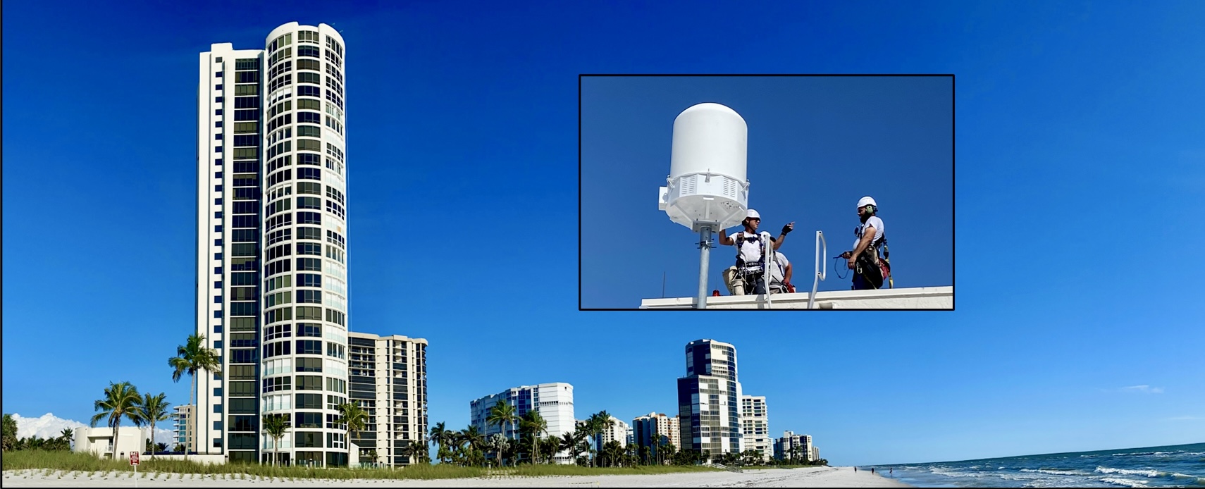
StormQuant also deployed its latest BAT Series high-resolution X Band radar to the airfield. This compact radar is engineered to fill critical coverage gaps in the nation’s existing weather radar network, supporting aviation safety, space operations, and emergency management. The addition of the radar at this critical location complements the Weather Viewer by providing localized, high-resolution data.

“This collaboration highlights our commitment to innovation and safety in aerospace operations,” said Paul Bruno, CMO of StormQuant. “Our advanced technology will enhance overall readiness and resilience, not just for the airport, but for the entire Space Coast.”
The StormQuant platform is being utilized by the Florida Division of Emergency Management. In addition to gap filling, it integrates cloud-connected data, real-time alerts, and advanced analytics to support meteorologists and emergency managers with actionable insights—faster and more accurately than legacy systems.
As spaceflight activity increases and the region continues to grow as a national aerospace hub, this collaboration sets a benchmark for smart, safe, and future-ready infrastructure on Florida’s Space Coast.