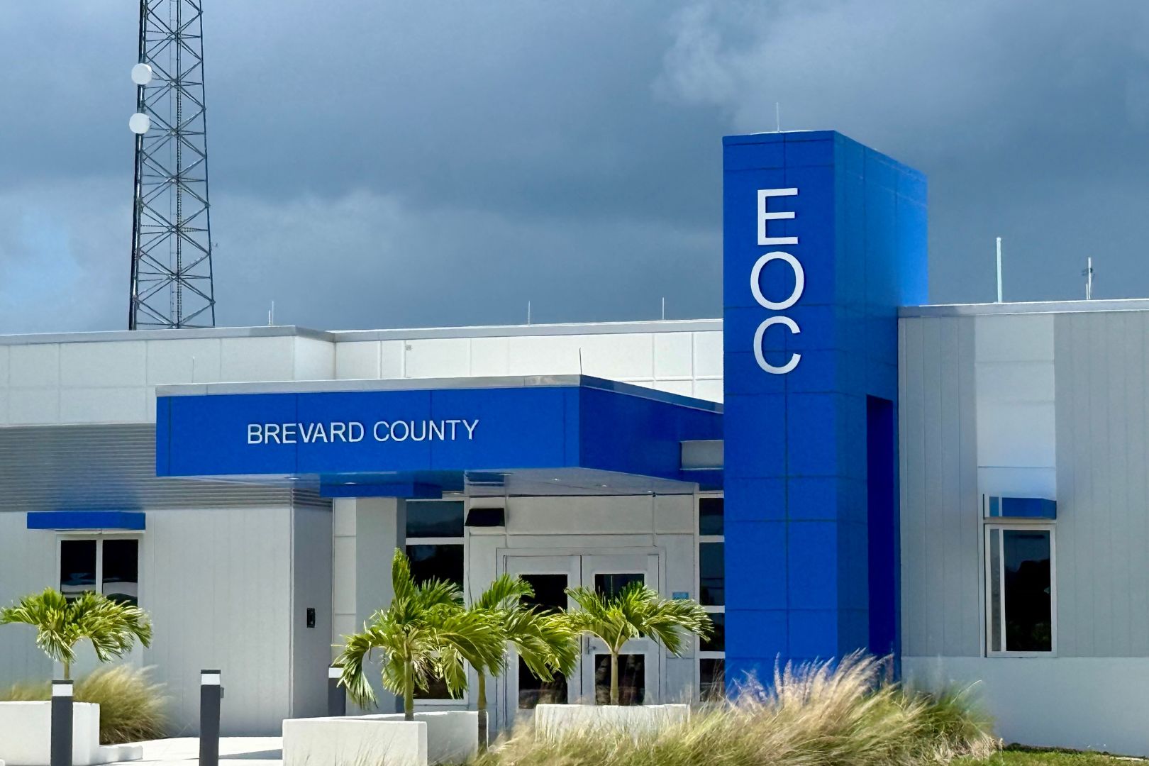
Weather Viewer Deployed In Brevard County
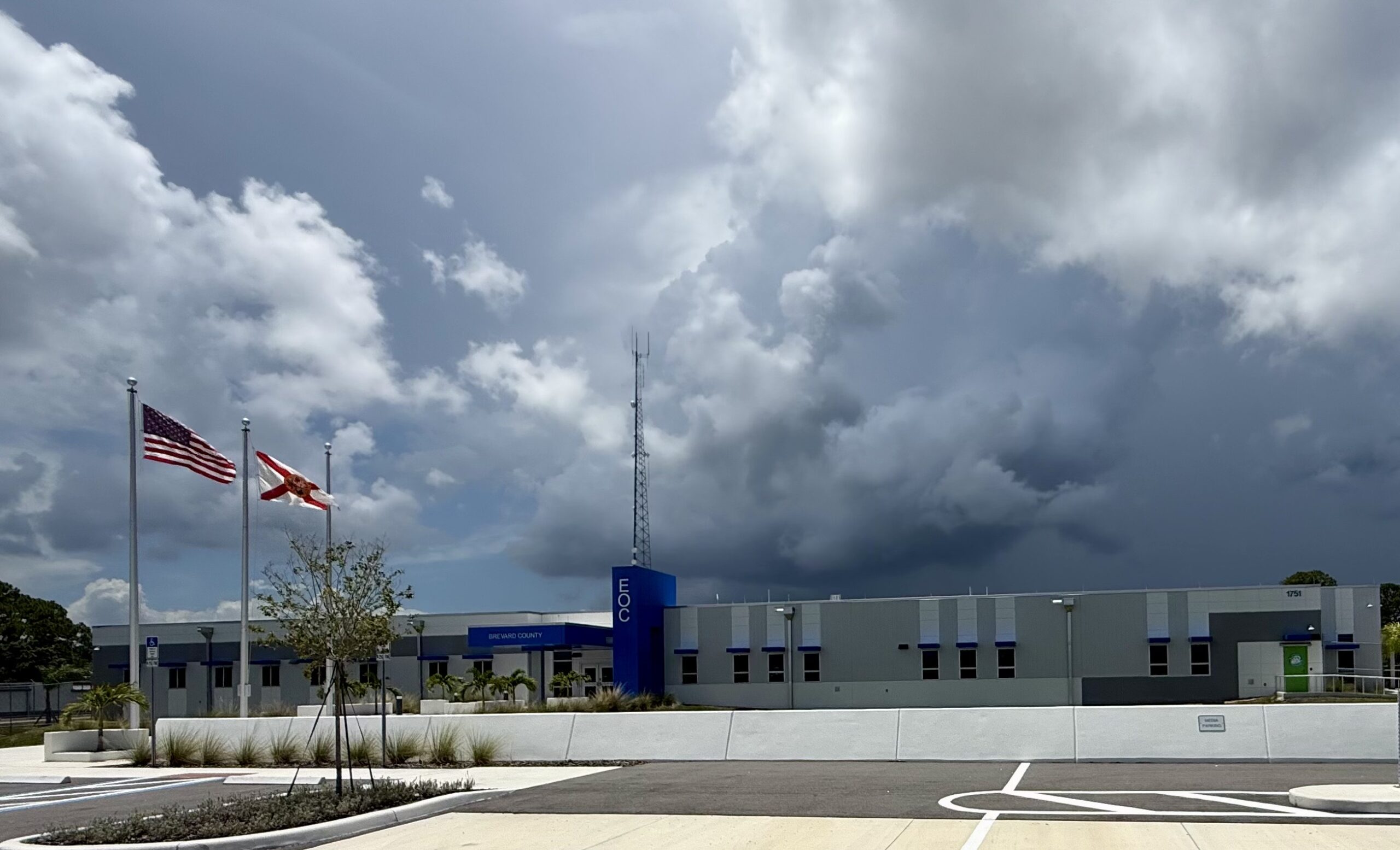
StormQuant and its patented Weather Viewer is transforming how municipal Emergency Operations Centers (EOCs) can prepare for and respond to severe weather. Its advanced software seamlessly meshes data from both StormQuant radars and other existing sources to deliver an integrated, intuitive 3D user experience. Installation of this cutting-edge technology was made possible by Florida’s Division of Emergency Management (FDEM).
StormQuant and its patented Weather Viewer is transforming how municipal Emergency Operations Centers (EOCs) can prepare for and respond to severe weather. Its advanced software seamlessly meshes data from both StormQuant radars and other existing sources to deliver an integrated, intuitive 3D user experience. Installation of this cutting-edge technology was made possible by Florida’s Division of Emergency Management (FDEM).
Brevard County, Florida, and its legendary Space Coast are widely regarded as the premier location for space launches when considering all key factors—geography, weather, and infrastructure. NASA’s Kennedy Space Center and Cape Canaveral Space Force Station are located here. The County is also home to Port Canaveral, one of the busiest cruise ports in the world. It serves seven cruise lines across six major terminals, making this area a hub for both space exploration and ocean travel.
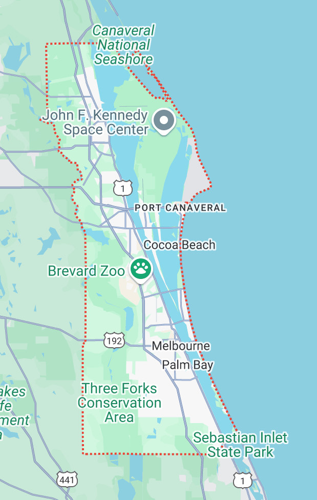

Severe weather preparedness is critical in Central Florida. Since 1950, five hurricanes have directly impacted Brevard County. The most severe was Hurricane David in 1979, a Category 5 storm with 1-minute sustained winds reaching 173 mph and wind gusts reaching 221 mph over a 3-second average. In 2004, Brevard County experienced two Category 3 hurricanes—Frances and Jeanne—which caused extensive damage. Hurricane Frances resulted in approximately $277.6 million in damages, while Hurricane Jeanne struck just weeks later, compounding destruction in areas already heavily affected.
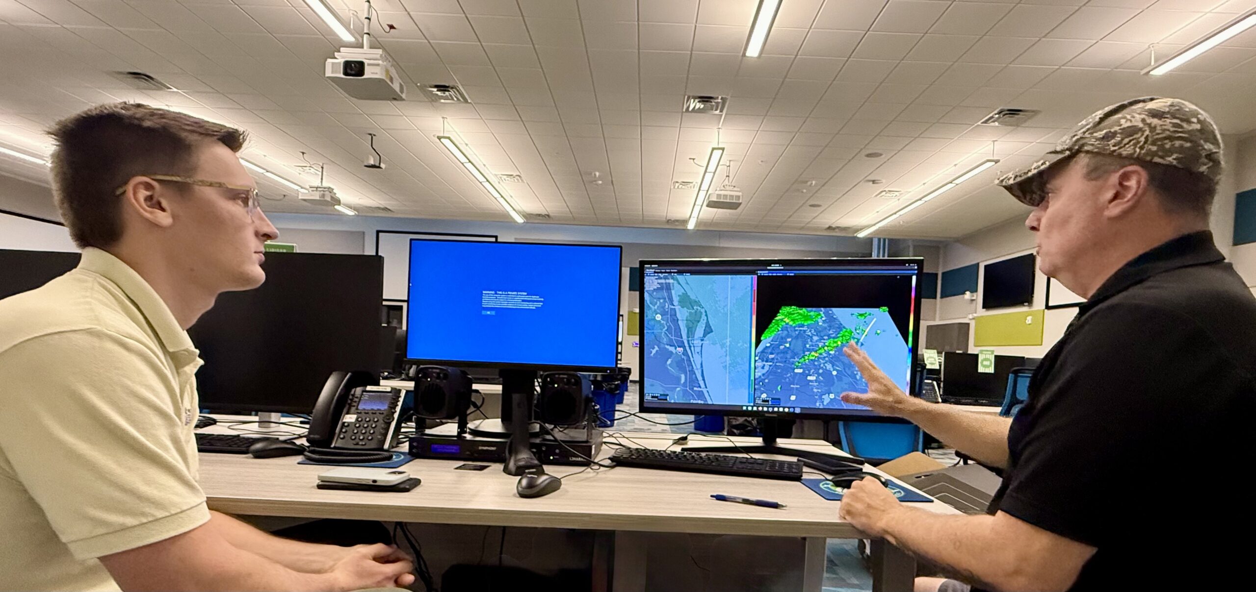
The StormQuant Weather Viewer installation and site-training was coordinated with Ian Craig, Radiological and Logistics Coordinator for the Brevard County EOC. “StormQuant is always improving its technology,” said Howard Moore, Lt. Col, USAF (Ret.), StormQuant’s Chief Meteorologist. “Ian was familiar with earlier versions of StormQuant’s software. He was very impressed with the new kiosk speed and the software improvements.”


Unlocking The StormQuant Advantage
When life-threatening storms strike, they often bring catastrophic effects—flooding, tornadoes, and severe hail. In such moments, rapid access to critical decision-making information can mean the difference between safety and disaster.
Unlike traditional systems that rely on two-dimensional radar views from a single feed, StormQuant combines data from S, C, and X-band radars across both existing and new infrastructure. This multi-source fusion provides enhanced 3D imagery, innovative analysis tools, and a higher level of system redundancy—maximizing value and effectiveness of existing infrastructure investments.
“At the core of StormQuant’s platform is a cutting-edge three-dimensional visualization engine,” said Paul Bruno, StormQuant’s CMO. “With the Weather Viewer workstations, users can rapidly interrogate storms through dynamic vertical and horizontal cross-sections at any map location.”
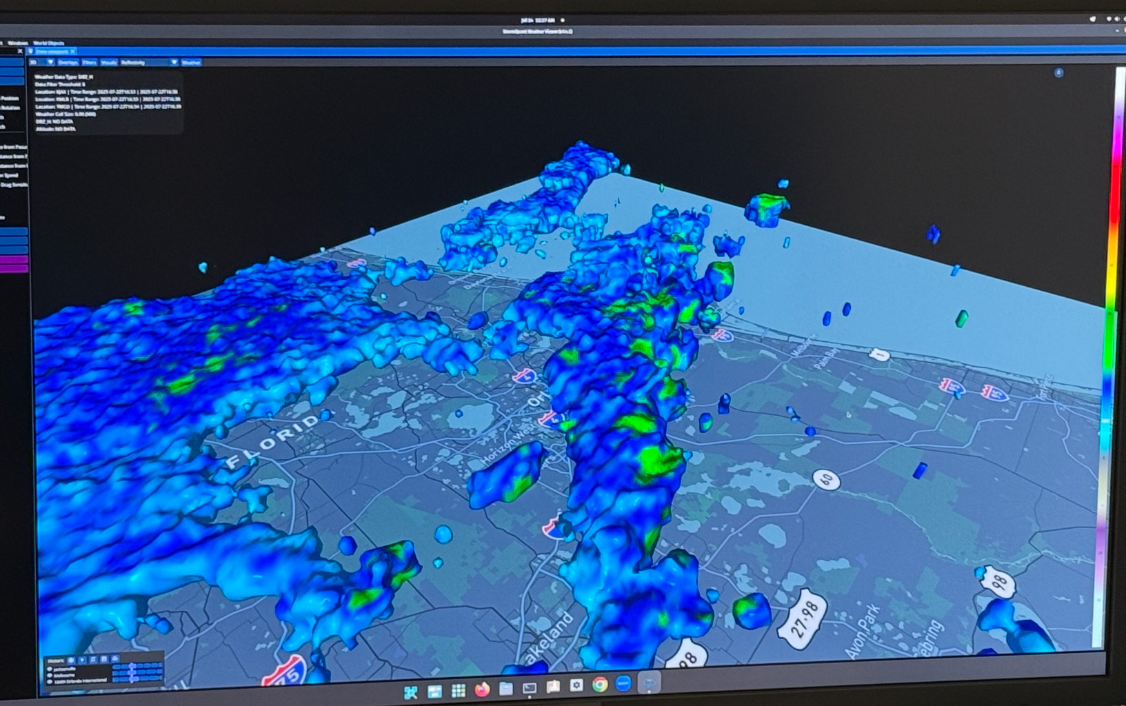

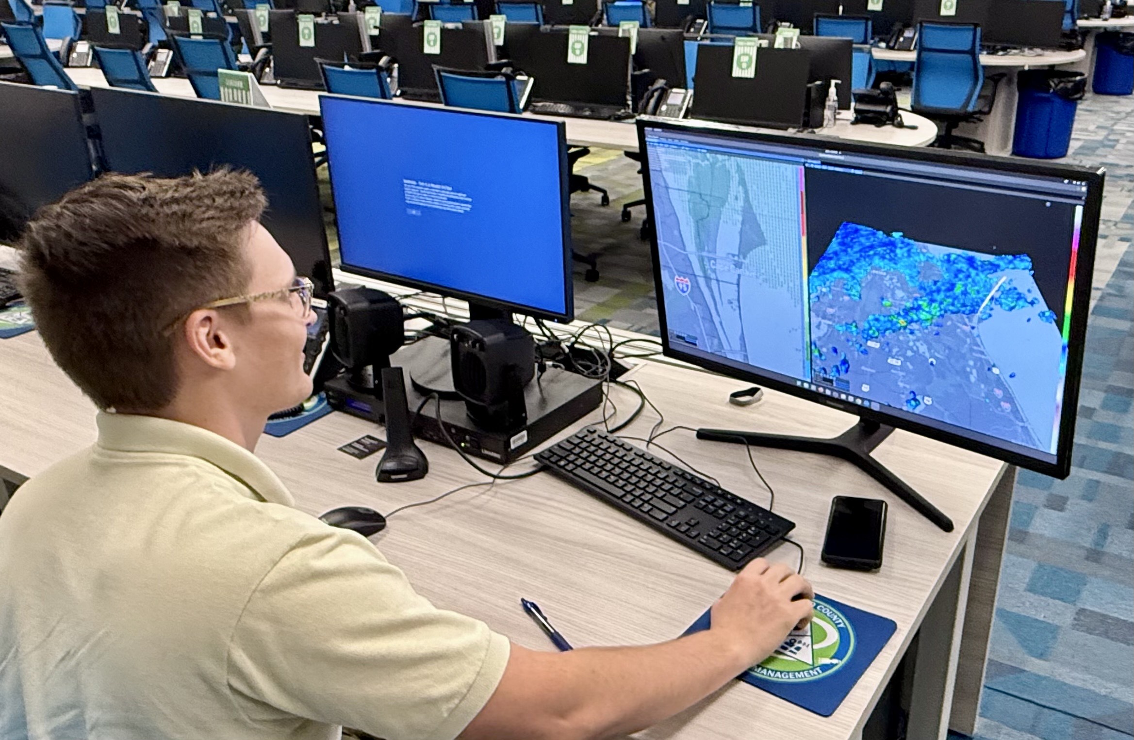

StormQuant’s proprietary meshed radar system converts multiple radial velocity readings into accurate estimates of wind speed and direction, offering a more precise understanding of actual storm conditions. Tailored alerts empower users to monitor specific weather parameters, including heavy rainfall, hail, and precipitation accumulation, all customized to their location and operational needs. Alerts can be distributed through text, email, or local systems, ensuring timely action where it matters most.
StormQuant delivers the speed, accuracy, and intelligence needed to stay ahead of today’s most dangerous weather events. Better data. Better tools. Brevard County has taken a significant step forward in severe weather preparedness.

