Hurricane Milton: Advancing Weather Detection and Response
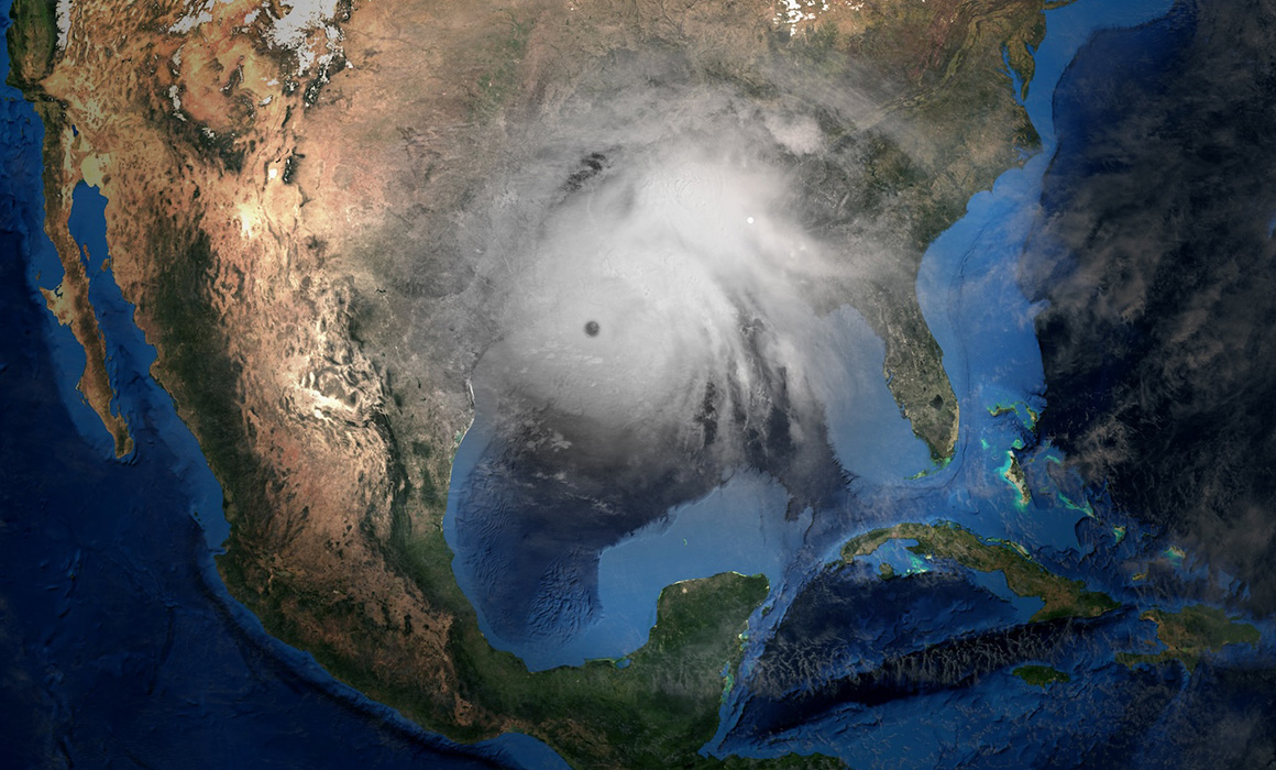
H urricane Milton made a devastating impact on Florida on October 9th and 10th, 2024. Our thoughts are with those who lost loved ones and homes during this tragic event, and we extend our deepest gratitude to the first responders who risked their lives to protect others. At StormQuant, we are committed to leveraging advanced weather radar technology to improve real-time storm responses and post-storm recovery efforts, aiming to minimize such losses in the future.
StormQuant’s Live Coverage of Hurricane Milton
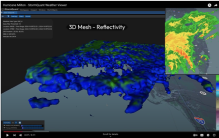
During Hurricane Milton, StormQuant hosted a live stream on our YouTube channel, showcasing groundbreaking two-dimensional and three-dimensional weather visualizations. Our technology highlighted vertical and horizontal cross-sections of the storm, providing unparalleled insights into its structure and progression.
In addition, our platform utilized a gridded mesh configuration to simultaneously display reflectivity data from multiple radars within a single geographic area. This innovation allowed for a more comprehensive understanding of the storm, offering tools that can empower emergency responders and meteorologists.
You can view a time-compressed replay of highlights from our live stream on the StormQuant YouTube page: Watch the Highlights.
Innovative Visualizations: Hurricane Milton in Focus
Vertical and Horizontal Cross-Sections: Enhanced storm tracking with detailed analysis of storm layers.
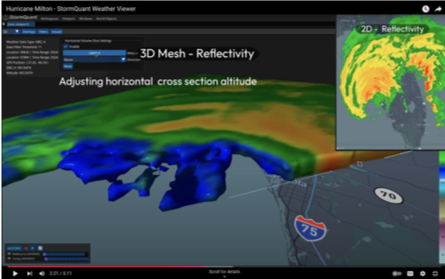
3-D and 2-D Reflectivity Data: Real-time visualizations providing critical information for decision-making.
At StormQuant, we remain dedicated to advancing weather detection and visualization technology, ensuring communities are better prepared for future weather events. Stay connected with us for more updates and innovations in weather intelligence.

